Nearest Bus Station is at Holyhead Port. There are daily coaches from Manchester, Birmingham, Liverpool and London.
Nearest Railway Station is Holyhead. There is a regular service to Crewe (2.5 hours), Birmingham (3.5 hours), Cardiff (5 hours) and London (4 hours) from Holyhead.
Anglesey Outdoors is 2 miles from Holyhead Station. The nearest bus route (No 21) finishes at Treisifion, approximately 1 mile.
By Car
Anglesey Outdoors is located approx 2Km from the main A55 Holyhead exit.
Arriving at the last roundabout from the A55 you will see McDonalds and Asda supermarket on the left hand side of the road.
Take first left off the roundabout (signed to Trearddur Bay B4545).
Immediately take the first right turn between the Angel Chippy (red Building) and an old Pub, currently being refurbished. There is a white road sign for Porthdafarch Road. This turning is before the pelican crossing you see ahead of you.
Continue out of Holyhead along this road for 1.5 miles.
There is a made up road on the left called Mill Lane. Immediately after this, there is a track to the left signed to Anglesey Outdoors and Paddlers Return Bar.
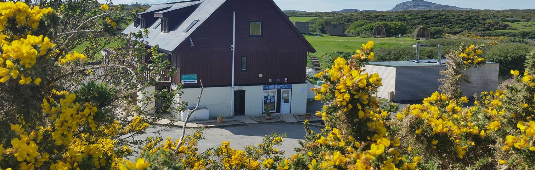
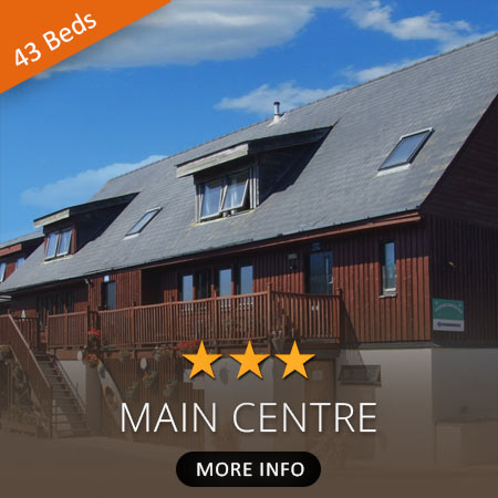
The reception is on the ground floor of the main centre.